
Wilmington ZIP Code Directory Coverage
Wilmington's official general-information page identifies 01887. That is the verified postal ZIP used here. Research did not find an official source assigning a second ZIP to a Wilmington street, a special ZIP for a local institution, or a documented ZIP boundary mismatch. The careful answer is one verified town-supported postal identifier, not a made-up list of delivery areas. USPS, municipal, parcel, and precinct systems each answer a different question.
| ZIP | Areas Covered | Post Office | Notes |
|---|---|---|---|
| 01887 | Wilmington is the town identified by the official general-information page; postal geography is not a legal town boundary. | Wilmington Post Office, 18 Church Street | Only town-supported ZIP verified in the research. No second ZIP or street-level mismatch was documented by an official source. |
The town's general-information page identifies 01887, its municipal area, and neighboring towns. Use the ZIP as a five-digit postal field, then verify the municipality and parcel separately when the records question concerns a specific address.
Note: A ZIP on a mailing label confirms postal formatting, not the legal town, parcel, or current connection of a person to that address.
Wilmington Postal Facility Evidence
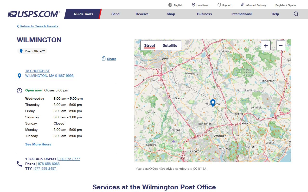
The official USPS location listing places the Wilmington Post Office at 18 Church Street, Wilmington, MA 01887-9998. Its listing also displays a phone number, hours, and services. That record confirms the facility's postal ZIP. It should not be stretched into a full municipal delivery map or a complete list of points served by that ZIP. Keep the source role narrow: postal facility evidence is not parcel, census, deed, or election evidence.
The USPS Wilmington Post Office listing is the official source behind the local postal facility record.
When a postal question involves a particular delivery address, use the current USPS service rather than assuming that facility data marks a municipal boundary.
Searching a Wilmington ZIP Code
A ZIP narrows the starting point, but Wilmington systems do not turn it into a public household roster. The Secretary's tool uses an individual address to return election and precinct information. The assessor and GIS systems use location, owner, parcel, and map context. The Registry uses recorded instruments. Follow the field each system actually accepts instead of treating 01887 as an all-purpose name search.
- Verify the mailing ZIP as 01887 from an official postal or municipal source, and retain the complete street address.
- For an election question, enter street number, street name, street suffix, and Wilmington in the Secretary's address lookup. Use the ZIP only when the form calls for it.
- Check the municipal location in the town GIS or parcel map before interpreting the result as a Wilmington address.
- Use the verified address in the Vision assessor portal to obtain the parcel context. Record the fiscal year and access date with any result.
- Move to the Registry only when the question concerns a recorded instrument, book and page, plan, or deed party. A property record does not become a ZIP-based resident list.
Once the ZIP has narrowed an address to a specific street, the Wilmington streets directory provides the address-by-address record trail. It keeps postal, parcel, owner, and historical evidence in distinct roles.
Wilmington Voter Lookup Fields
The official Massachusetts election-information lookup is an address-to-precinct service, not a public name-by-address search. Its result supplies election and precinct information. It does not provide a household roster or ownership determination. The city/town field is preferable for a Wilmington precinct question because ZIP and municipal geography are not the same system.
| Field | Input | Purpose |
|---|---|---|
| Street number | Address number | Matches the individual address for precinct routing. |
| Street name | Street name without a person name | Identifies the address street for the lookup. |
| Street suffix | Suffix such as Street, Road, or Avenue | Helps the form distinguish the address format. |
| City/town or ZIP | Wilmington or five-digit ZIP 01887 | Completes the precinct query; use Wilmington for the municipal question when possible. |
Local voter records are held by the Wilmington Town Clerk and registrars. The state's voter-access guide describes which local public fields may be available and which sensitive fields are withheld. A statewide voter file is not an open general-purpose lookup, so request a specific local record only through the proper election-office route.
Wilmington Parcel-GIS Handoff
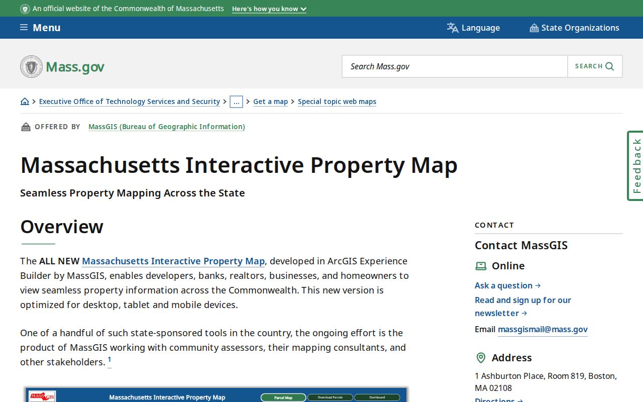
Move from ZIP geography to property geography when the question is whether an address is inside Wilmington or which parcel it describes. The Massachusetts Interactive Property Map and Wilmington MassMapper layers can show property-tax parcel geography, buildings, municipal boundaries, conservation and regulatory areas, and water layers. Map geometry helps locate the parcel, but it is not a deed and does not resolve a legal description by itself.
The Massachusetts Interactive Property Map is the state parcel-map source used for this Wilmington handoff.
After locating a parcel, compare the map result with the assessor's dated record and a Middlesex North instrument if legal ownership or a plan reference matters.
ZIP Code and Wilmington Lines
ZIP, municipal, parcel, polling, and census geographies should remain separate in a Wilmington postal search. A street can cross a municipal line or carry a postal city name that differs from the legal municipality. The research did not locate an official Wilmington example that documents such a mismatch for 01887. That absence matters. Do not identify a specific boundary exception without an official source for the particular address.
- ZIP code
- A postal delivery identifier used to format and route mail. It is not a parcel or municipal-boundary record.
- ZIP+4
- An added postal detail beyond the five-digit ZIP. Official town sources reviewed here did not expose a Wilmington ZIP+4 inventory.
- PO Box ZIP
- A postal identifier used for post-office boxes. No Wilmington PO Box ZIP was verified in the research.
- Carrier route
- A postal delivery grouping. No official Wilmington carrier-route inventory was located in the source set.
Wilmington Address Format Tests
When a query fails, keep a simple log of the postal form and municipal form that were tested. Try the town name and the five-digit ZIP separately where a form permits either. Preserve the street suffix in the voter lookup. In the Middlesex North property search, follow the Registry instruction to omit Street, Road, or Avenue and test spelling or ordinal variants when appropriate. Record the exact query, result count, date, and whether the result was an address index, map layer, or deed image.
Do not silently substitute an owner mailing address for a situs address. The situs is the property location. A mailing address may be elsewhere. The 2019 town street map can help locate roads and cross streets, but its grid squares are general map references, not parcel identifiers. For a renamed, divided, or plan-described road, Wilmington Engineering holds maps, plans, GIS, and related records.
Note: A clean address match in one Wilmington system should still be labeled by source, date, and role before being used with another record.
Wilmington ZIP Code Property Context
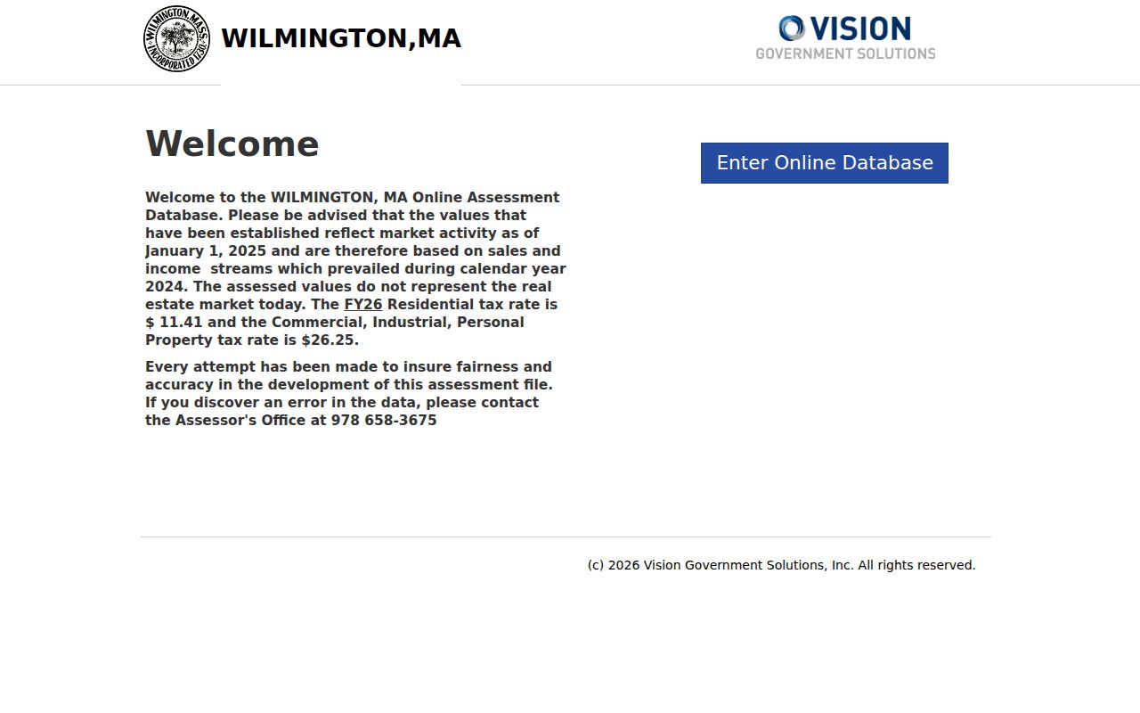
The Wilmington Online Assessment Database accepts address, owner-name, and parcel or property search routes. Results can expose parcel ID, situs address, owner, land and building assessment fields, sale information, property characteristics, and a map link. This is useful after a ZIP has led to a full address. It is not evidence that the owner is the current occupant, and the portal does not replace postal delivery information.
The observed portal is labeled FY26, with values based on January 1, 2025 and calendar year 2024. Treat that fiscal-year context as dated assessment information rather than a timeless fact or a residence claim.
The Wilmington assessor portal shows the address, owner, and parcel routes available for the next step after a ZIP code check.
Save the parcel ID, situs address, fiscal year, and access date, then use the Registry for the separate recorded-instrument trail.
Wilmington ZIP Research Limits
A postal ZIP search cannot reliably produce a complete resident list. USPS answers postal and facility questions. The precinct service answers election-routing questions for one address. Assessor and GIS resources answer parcel and municipal-location questions. The Registry documents instruments by party, town, date, property, book, page, and plan. Each resource has a narrow purpose, and no official Wilmington source reviewed here supports a ZIP-first household roster.
The research gap is explicit: no official local source exposed a ZIP+4 list, carrier-route inventory, second ZIP, or address-level boundary mismatch for Wilmington. Keep that limitation visible when a ZIP result is incomplete. The proper fallback is a precise street address, city/town field, parcel map, local custodian, or dated historical collection, depending on the record type.
Wilmington Geographic Citation Trail
Use separate citations for postal, municipal, parcel, and population facts. The town statistics page gives a 2020 Census population of 23,349 and an area of 17.2 square miles. Those numbers describe dated municipal context, not an active count for ZIP 01887. The USPS page documents a postal facility. The GIS page documents parcel and map layers. A registrar's response documents an election record. Keeping those source roles separate prevents a ZIP code result from carrying claims it cannot support.
For every result, save the full address as entered, ZIP, city/town, portal name, selected layer or filter, date, and result type. Do not infer a protected address from other records. Use public records only for lawful personal, historical, civic, or property research, and do not use them to stalk, harass, or harm anyone.