
Walk a Wilmington Street by Address
Use the same normalized address at every stop. The town map and the assessor record establish the street label and parcel context. Vision can then supply a parcel ID, situs address, assessed owner, sale information, and property characteristics. That is ownership evidence, not proof that the owner occupies the property. For a residence question, dated town lists, historical directories, or other sources that actually identify an occupant carry more weight.
- Confirm the house number and current street spelling in the Wilmington assessor or GIS record. Save the fiscal year and access date with the result.
- Use the parcel ID and map to identify the lot, street-facing geometry, and nearby parcels. Keep each parcel in its own note.
- Search the Middlesex North Registry by the assessed owner and Wilmington, then inspect the most recent deed for its parties, recording date, book and page, legal description, plan reference, and prior-deed citation.
- Follow the prior reference backward. If the trail reaches an older instrument, switch from address searching to the recorded names, book and page, plan, and legal description.
- For a person connected to the address at an earlier time, compare the library history index, town reports, historical lists, and directory holdings. Mark the person as an occupant, owner, official, or historical mention exactly as the source supports.
Wilmington’s address-based voter tool is useful for precinct information when given a street number, street name, suffix, and town or ZIP. It does not return a name-by-address roster. A local public voter or numbered resident-list request belongs with the Town Clerk and must respect the state’s protected-field rules.
Read Wilmington Parcel Fields First
The Wilmington Online Assessment Database is the right first stop when a street directory search begins with a present-day address. Its FY26 interface offers address, owner/name, and parcel or property routes. The returned parcel card can show the situs, owner field, land and building values, assessment, sale information, property characteristics, and map. Values are fiscal-year assessment context, so retain the displayed year rather than treating the card as a timeless record.
| Vision route | Input | Useful result | How to read it |
|---|---|---|---|
| Location search | Street address | Parcel ID and situs address | Use the portal’s street spelling in later searches. |
| Owner/name search | Owner name | Property results | Shows an assessed-owner field, not an occupant list. |
| Parcel/property route | Parcel or property details | Land, building, sale, and map data | Record the fiscal year and access date. |
| Map/property tabs | Selected parcel | Property characteristics and map context | Compare geometry with GIS before making a location match. |
The Vision search screen shown below is the portal used for that first parcel check.
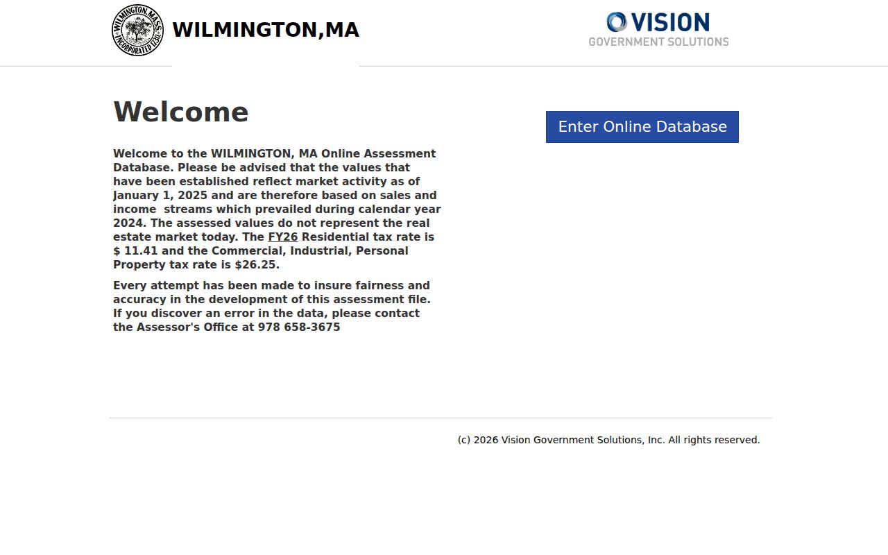
After the parcel is located, use its ID and situs rather than an owner mailing address as the address-search anchor. A tax mailing address may be outside Wilmington.
Place Wilmington Streets on the 2019 Grid
The official 2019 Wilmington street map gives a practical way to place a road, crossing, water feature, rail line, or major route before opening parcel data. Its map squares, including labels such as 1K, are useful visual locators. They are not parcel identifiers and should never substitute for a parcel ID, legal description, or a verified house number.
For parcel geometry, the MassMapper Wilmington view provides property-tax parcels, buildings, conservation and regulatory areas, municipal boundaries, and water layers. It can help separate a street from a nearby boundary or show adjoining parcel outlines. Its attributes are GIS evidence, not the legal land record, so deeds and plans remain the place to confirm a legal description.
The linked MassMapper view illustrates the layers available for a Wilmington address search.
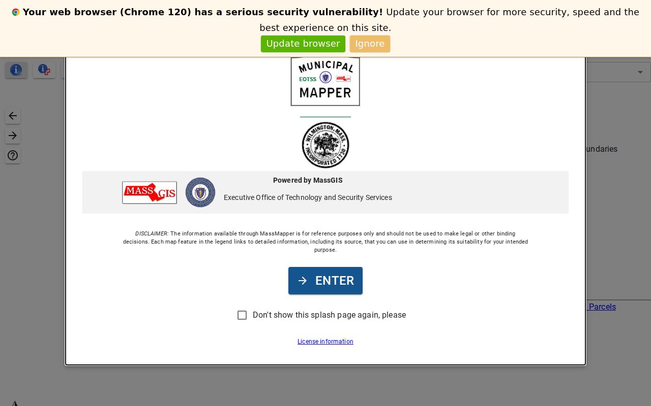
Use the map to record parcel geometry and adjoining lot IDs, then test each address independently in Vision. Proximity on a map establishes geography, not a household or family connection.
Use Engineering for Wilmington Street Plans
An address search can stall when a modern address does not appear in an older instrument or when a subdivision layout uses an unfamiliar road label. Wilmington’s Engineering Division maintains or provides access to GIS, maps, plans, and infrastructure records. For a road layout, subdivision, easement, drainage, or street-number question, request the specific plan or record and date range. The assessor map does not promise every engineering document.
Compare a current GIS label, the 2019 street map, a Registry legal description, an historical directory entry, and any plan citation. A plan may name a proposed road, while a later municipal record may use an adopted name. Record the plan date and the wording found in the document instead of silently rewriting an older label into a current one.
Search Deeds Along a Wilmington Street
The Middlesex North deed index supplies the recorded-instrument part of a Wilmington street directory search. Its property route accepts street number and street name, but the Registry advises omitting Street, Road, and Avenue where possible. Test ordinal spellings such as 1st and First, as well as hyphenated numbers, when the first attempt fails. Address indexing is described as routine mainly from the late 1990s, so a missing address result does not end the search.
When using the name route, the Registry instructions describe a 1976-present Recorded Land name search with last name, first name, optional Advanced filters for document type, town, and date, and 20 rows per screen. A separate Registry statement says computerized indexes are online from 1966. Preserve that difference in a search note and use the pre-1976 grantor/grantee scans for earlier work. Deeds from 1976 through 1986 may have document type “none,” which matters when filtering for deeds.
The Masslandrecords search interface is where name, property, book/page, date, and party searches come together.
Open the underlying image rather than relying on the index line alone. A useful deed note includes the recording date, parties, instrument type, book and page or registration reference, legal description, plan reference, and prior-deed citation.
Handle Wilmington’s Older Street Records
The Registry’s search instructions explain why a street directory must change methods as it moves backward. The computerized name index is newer than the scanned record collection. Book search begins with book 1132, January 1950. Books 1 through 1131, from 1855 through December 1949, are unindexed images. Earlier research uses the pre-1976 date-range selector, grantor/grantee index scans, and book or page references.
Grantor means the person or entity transferring an interest, often the seller. Grantee means the recipient, often the buyer. A legal description identifies land through a lot, plan, boundaries, or other recorded wording and can survive a street-name change. A plat or plan is the mapped record that can connect lots, roads, and subdivisions. A criss-cross directory is an address-first directory that lists a printed occupant or business by street, but it is not a current ownership record.
- Parcel
- A tax and mapping unit used by the assessor and GIS systems. It provides a stable starting point, not proof of who lives there.
- Situs address
- The physical property location shown in a property record. It differs from the address where tax mail is sent.
- Plan reference
- A cited map or layout in a deed that can resolve lots, old roads, and changes to a subdivision.
- Criss-cross directory
- An address-organized historical directory. Treat every name as a dated printed entry, not a present-day resident claim.
The Registry instructions page documents the pre-1976 scan route, address quirks, and plan-search mechanics.
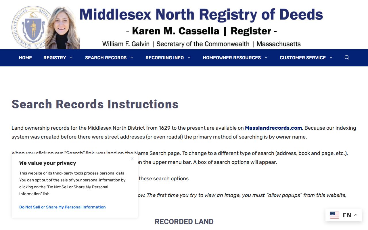
For a pre-1950 instrument, save both the index-page clue and the image location. The page edge may show only the first name, making nearby pages necessary for a complete entry.
Match Wilmington Records to an Address
Each Wilmington street record answers a narrower question than a general address claim. The chain below keeps parcel, ownership, historical occupancy, and municipal location evidence distinct. It also preserves the fallback channels documented by the custodians, including an online portal, an office request, library collections, and Registry phone, email, or mail help when the web index does not resolve a record.
| Address record | Custodian | What it can show | Access route |
|---|---|---|---|
| Assessment parcel card | Wilmington Assessors | Parcel ID, situs, assessed owner, sale and building context | Vision portal; assessor contact for related records |
| Parcel and boundary layers | MassMapper and town GIS | Geometry, adjoining parcels, buildings, boundary context | Online map; Engineering for plans and GIS records |
| Recorded instruments | Middlesex North Registry | Parties, deeds, mortgages, liens, plans, book/page references | Free online viewing; phone, email, or mail copy routes |
| Numbered resident or local voter material | Wilmington Town Clerk and registrars | Dated public fields when available under state rules | Request the year, town or precinct, fields, and access format |
| Historical town material | Wilmington Memorial Library | Printed names, reports, maps, Town Crier references, persons-listed material | Local-history collections and in-person help as available |
Online Registry viewing is described as free. Its copies guidance lists mail fees of $15 for a mortgage and $5 for other documents or plans, with phone and email assistance available. The Registry says paper copies are not provided at its office, so use online, phone, email, or mail channels and confirm the current charge before ordering.
Find Earlier Wilmington Street Occupants
Modern parcel data seldom supplies the historical household layer. Wilmington Memorial Library’s local-history resources include a history index, digitized town reports, maps, Sanborn links, town-census or persons-listed material, Town Crier files, and Olde Burying Ground material. The State Library inventory identifies Wilmington city directories for 1919 and 1931-1932, plus selected voting-list years. These are valuable time slices, not a complete run for every year.
Search an older address and street name with the person’s name, an approximate decade, and local terms such as Middlesex Canal, railroad, Silver Lake, or Bond. Record the exact printed address, year, source title, page, and role. A directory can support a dated occupant entry; a Registry instrument usually identifies owners or mortgage parties. The historical collection process itself is covered in the Wilmington City Directory.
Note: A gap between directory years or town reports is a missing source interval, not proof that nobody lived on the street during that period.
Request Wilmington Resident Lists by Year
For a dated resident-oriented record, ask the Wilmington Town Clerk or registrars about the specific year, list type, inspection rule, and fee. Massachusetts General Laws c.234A, §10 describes an annual numbered resident list of names and addresses for residents age 17 or older as of January 1, arranged alphabetically and available for public inspection through the statutory procedure. It is not a live street directory and it does not establish that every listed person voted or remained at the address.
The Secretary of the Commonwealth’s voter-information access guide distinguishes the local public-list route from the state’s address-to-precinct tool. Local material may include permitted name, address, party, date-of-birth, status, voter-ID, history, registration-change, and mailing fields, subject to the rules. Phone, email, veteran status, permanent-absentee status, and confidential-voter information are not public list fields. Request only the lawful public fields needed for the historical question.
Set Limits on a Wilmington Street Search
A street directory can organize public information by parcel and time, identify historical spellings, and connect a printed name to a dated source. It cannot show everyone who lived at an address for an entire year. A current assessor owner is not automatically a current occupant, a deed address may not be the current situs, and a postal ZIP does not establish a municipal boundary. Keep owner, occupant, voter, official, and historical-mention labels separate.
Massachusetts protects confidential voter records and Address Confidentiality Program participants. The state voter guide withholds several personal fields, and protected voters can be represented by a voter number in place of a name and address. Do not attempt to reconstruct a protected address from neighboring parcels, old maps, or an owner record. Where an official source withholds a field, leave the gap in the evidence.